TRANSPORTATION
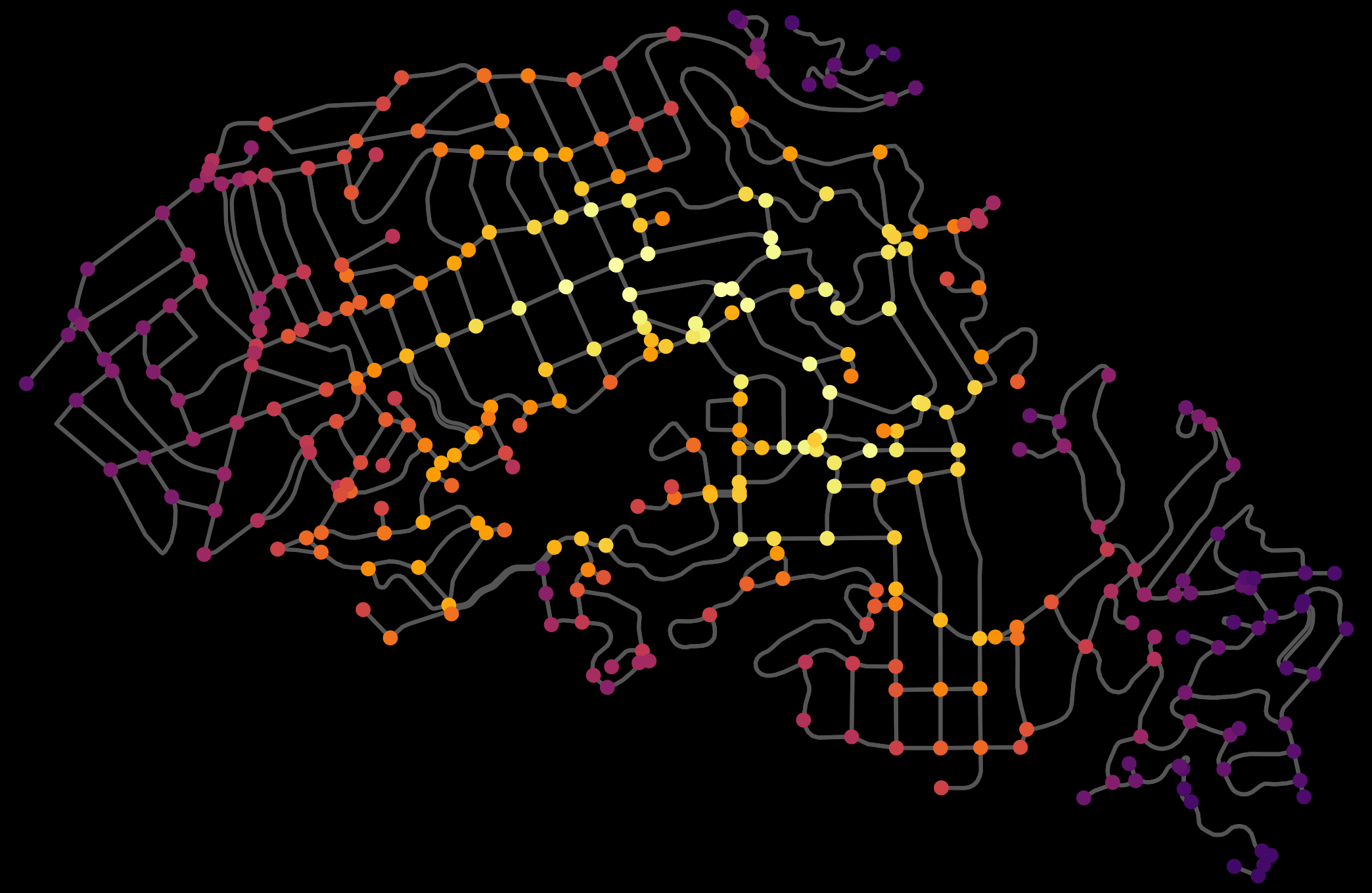
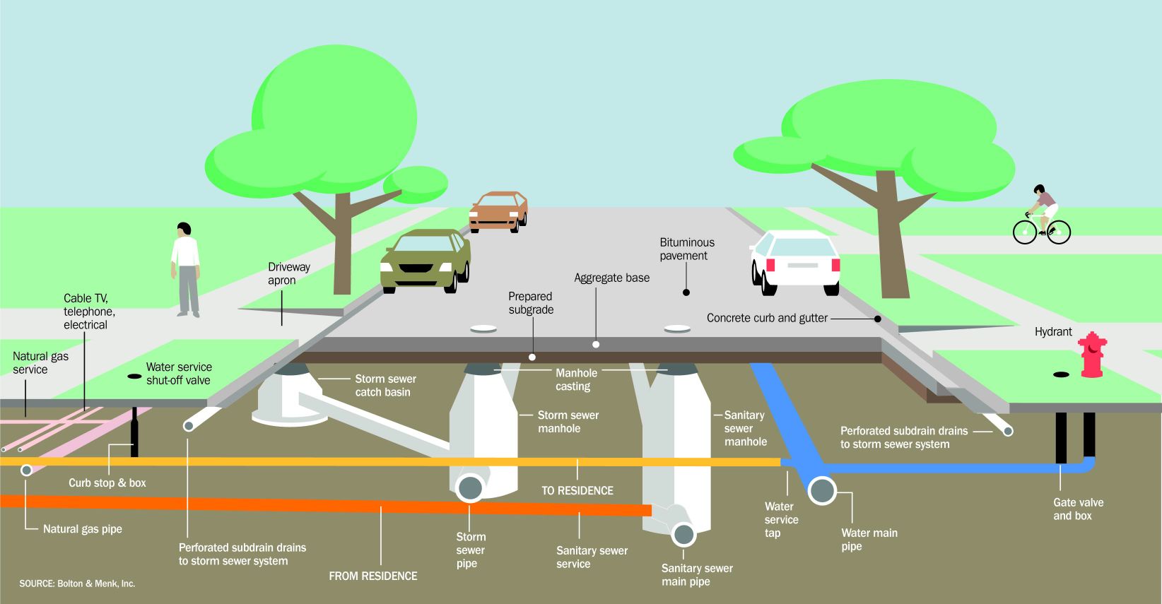
What do roads, bridges, transit-oriented development all have in common? A networked element that relies on a series of geospatial characteristics for good design.
URBAN PLANNING AND DESIGN
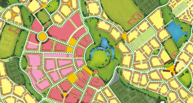
Whether you're performing a view-shed analysis, creating regulatory documents, or designing a new community plan, GIS is a crucial tool for data compilation, analysis, and visualization.
ARCHITECTURE, ENGINEERING, AND CONSTRUCTION (AEC)
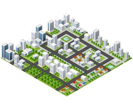
From CAD-GIS integration to asphalt overlay modeling to creating a common operating picture for heavy civil work, GIS is an invaluable tool for the AEC industries.
SMART CITIES AND TELECOMMUNICATIONS
The first step in moving forward with a Smart City, IoT, or 5G project is understanding your assets. GIS is the perfect tool to map out and understand your valuable real estate.
BANKING & INSURANCE
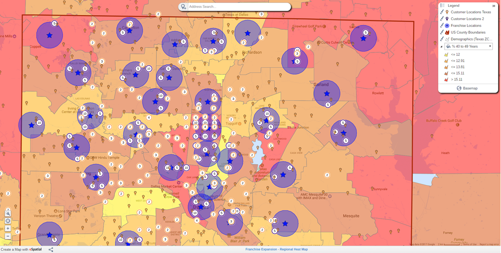
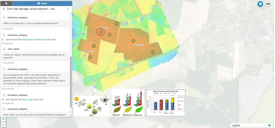
Our Geospatial Tool helps In Claims Management, Conducting Risk Analytics using alogrithms, Identifying Person Risk Profile. Geospatial Mapping also helps in mapping of non performing assest along with overall assests management, performance monitoring and it also helps identifying new markets with service gaps
GOVERNMENT
GIS is needed improve operations and service to citizens. GIS provides a common platform for data sharing, which enhances workflow, decision making, and coordination across the state and with federal and local government.


