The Overview

Introduction
Prepare a Strategic Development Plan to provide adequate engineering & Social Infrastructure Facilities to villages with organized & sustainable support towards ideal community development.
Common Minimum standards
Existing situation / status
Pilot Survey & methodology
Full survey
Demands based on standards & Gap Assessment
Ranking of villages
Project formulation, costing & phasing
SOLUTIONS
Topographic Survey Maps of all villages in ACAD.
Population by Census.
Status of GIA Works at Local Node.
IDCO’s Recommended Social Facility Norms for Navi Mumbai.
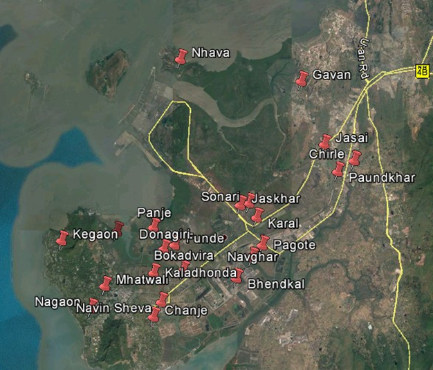
Village boundaries marked on Google Earth.
List of villages adopted by the funding agencies.
The GR related to the High-Level Committee.
Navi Mumbai Development Plan.
Village Nodal Plan in ACAD.
Revenue Maps.
Village demand list.
Solid waste management data.
Mapping :
Education Assets Mapping.
Water Supply Assets Mapping.
Water Supply Assets Mapping.
Health Assets Mapping.
Social Amenities Mapping.
Market Mapping.
Sanitation Facilities Mapping.
Electrification Assets Mapping.
RESULTS
Total 8 Village were adopted as part of Reformation Program.
