The Overview

Introduction
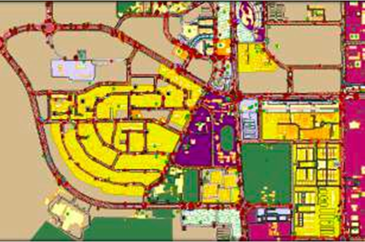
Qatar aimed at developing an efficient multi-modal road network to leverage the economy of the industrial city of Mesaieed in Qatar. They entrusted us with the responsibility of doing a comprehensive survey and mapping of the region using satellite technology. With Qatar hosting the upcoming Football World Cup and Mesaieed being the biggest industrial city proximal to Doha, the national capital, a new Transport Master Plan was the need of the hour.
SOLUTIONS
Satellite Image procurement for Qatar (stereo pair).
Satellite Image Geo-referencing.
Satellite Image geometric correction.
Satellite Image Ortho-rectification.
Satellite Image Ortho-mosaicing.
Aerial Triangulation (Tie Point Measurement & Block Adjustment) .
Ground Survey of Road Assets such as Zebra Crossing, Fire Hydrant, Shoulder and other 50+ Assets.
Building Height Generation .
3D Visual of Entire City.
1:150 Scale Mapping.
DTM/DSM Generation using Satellite Image.
Vectorization and GIS mapping to pick up elaborate details of administrative boundaries, land use, infrastructure, contours, water bodies, vegetation and RESULTS more.
RESULTS
The Developed Master Plan helped the Regional Authorized to carry out estimation of Construction & Upgradation of Road Infrastructure.
A Gap Analysis conducted helped in finding helped the authorize to identify and build the shortfalls.
