
Our Solutions
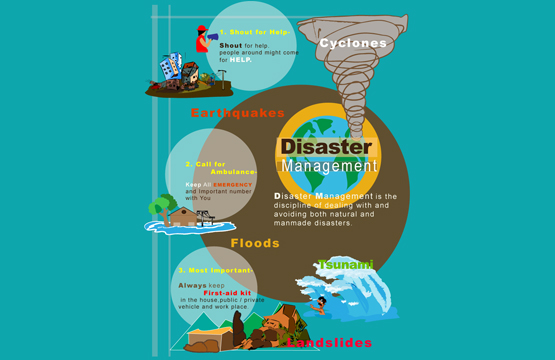
Disaster Management Solutions
Introduction
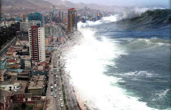
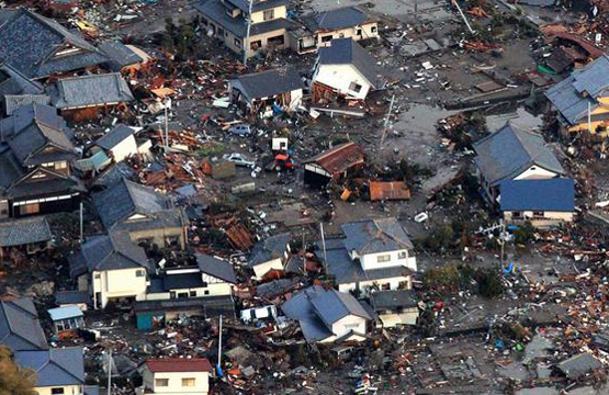
GIS and remote sensing are incredibly useful and effective tools in disaster management. These technologies have been the object of substantial interest for all countries and bodies concerned with space and in exacting emergency services and disaster management. In disaster management, the objectives of the disaster experts are to monitor the situation, simulate the complicated disaster occurrence as accurately as possible so as to come up with better prediction models, suggest appropriate contingency plans and prepare spatial databases. Remotely sensed data can be used very effectively for quickly assessing severity and impact of damage due to, earthquakes, landslides, flooding, forest fires, cyclones and other disasters.
During the disaster prevention stage, GIS is used in managing the huge levels of data required for vulnerability and hazard assessment. In the disaster preparedness stage, it is a tool for planning evacuation routes, designing centres for emergency operations, and for the integration of satellite data with other relevant data in the design of disaster warning systems.
In the disaster relief phase, GIS, in combination with GPS, is extremely useful in search and rescue operations in areas that have been devastated and where it is difficult to find one’s bearings.
In the disaster rehabilitation stage, GIS is used to organise the damage information and post-disaster census information and in the evaluation of sites for reconstruction. Natural hazard information should be included routinely in developmental planning and investment projects preparation. They should include cost/benefit analysis of investing in hazard mitigation measures and weigh them against the losses that are likely to occur if these measures are not taken.
Solutions
 Vulnerability and hazard assessment
Planning evacuation routes
Designing centres for emergency operations
Designing for disaster warning systems
Useful in search and rescue operations
Organising the damage information and post-disaster census information
Evaluation of sites for reconstruction
Development and investment planning at natural hazard location
Cost/benefit analysis of investing in hazard mitigation