Our Solutions
GIS Intelligence Solutions
Introduction
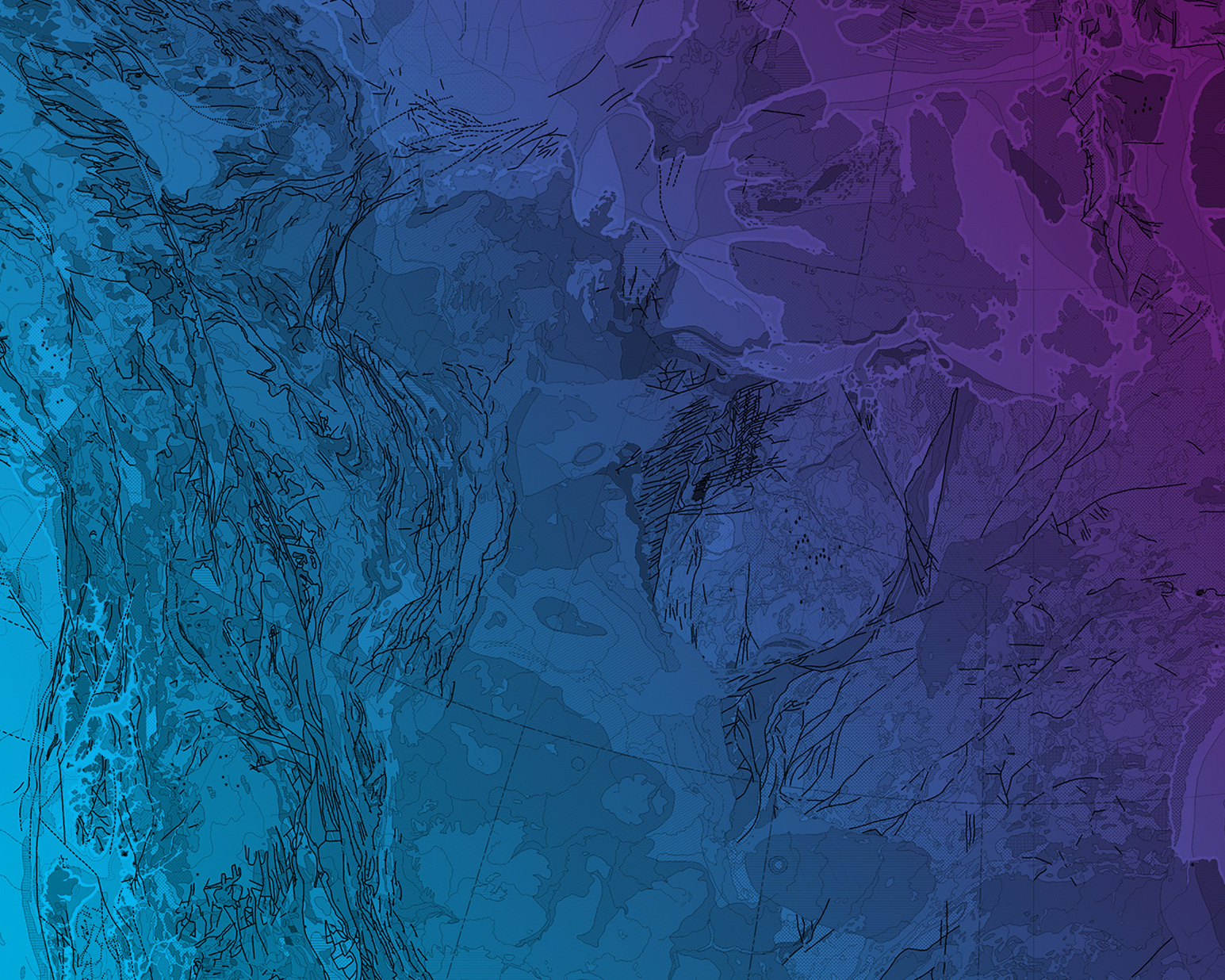
What is GIS Intelligence?
GIS intelligence is intelligence derived from the exploitation and analysis of imagery and geospatial information about features and events, with reference to space and time. This definition applies not only to products and services, but also to the process of conducting analysis. GIS intelligence is comprised of the following sub-disciplines:
Imagery Analysis
The process of examining an image collected from satellites or aircraft to identify features, describe activity and interpret what is occurring at a given place on the Earth’s surface.
Geospatial Analysis
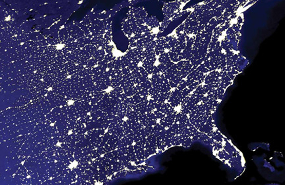
Entails collecting and analysing information about features on the ground, their relationships to the Earth and to each other. Geographic features can be hills and valleys, rivers, buildings, streets or even schools. Using geographic information systems (GIS), the data can be sorted, examined, analysed and conclusions can be drawn and displayed in a multitude of ways that would not be possible without GIS.
Geospatial Information and Services
A combination of the precise location information and associated attributes of natural and man-made features. This combination conveys the 'what' and 'where' of a feature on the Earth's surface and provides the foundation for a wide range of information to be integrated and displayed.
A cross-cutting spatial infrastructure is a key enabler of network- or informationcentric operations, with the service-oriented architecture of the GIS Software ensuring that enhanced decision support capabilities are pervasive. GIS capabilities fall into three main categories:


Solutions
 GIS enables the distributed storage and dissemination of spatial knowledge—the geodatabase—across industry-standard data storage and network environments. This connects the sensors that are gathering information about the changing environment to the decision support systems.
GIS enables powerful decision support analysis—geoprocessing—to be distributed across defense networks to provide decision makers with new ways of understanding time and space influences on their activities.
GIS provides all users with a consistent and powerful common operational picture—geovisualization—that fuses information and functionality from many sources into an intuitive situation awareness environment. GIS data and functionality can be accessed locally when the network is absent or from servers when the network is present.