Our Solutions
Mining Solutions
Introduction
GIS is a comprehensive technology that has been specifically designed to compile, process, analyze, display, and archive extensive volumes of data. A well designed, implemented, and supported GIS management structure is critical in the success of any mining operation.
Sophisticated technology is required to find, extract, and manage the resources in the earth's crust. Since mining is inherently spatial, requiring accurate knowledge of areas of the earth's surface and subsurface, geospatial technology is best suited to intelligently oversee all phases of the mine operation. GIS gives mining companies the tools they need to operate mines responsibly and at optimum efficiency.
GIS can be used by mining companies to target mineral exploration, evaluate mining conditions, model mine construction, and display data such as geochemical or hydrological. GIS can also be employed in applying for mining permits, assessing environmental impact, and designing closure and reclamation plans. Although GIS is an important tool for many industries, this review is mainly an overview of the different uses of GIS in the mining industry and a listing of sources of mining consultants and suppliers.
With the advent of Geographical Information System (GIS), many mining activities (from exploration to stope development, and production to mine rehabilitation) evolved from pure luck to science. Gone were the days when operations would rely on linen and paper maps and old surveys and drawings and superimposing transparencies to create layers and composite images. GIS replaced old map-analysis processes, traditional drawing tools, and drafting and database technologies.

Exploration
GIS is ideal for integrating various exploration datasets such as geophysical images, geochemistry, geologic maps, radiometric surveys, boreholes, and mineral deposits. GIS gives the explorationist tools to manage, display, and analyze data, resulting in successful, cost-effective discovery of new mineral deposits.
Mapping of mineral potential using GIS is conducted to delineate areas with different probabilities of hosting certain types of mineralization. The main steps in generating mineral potential maps are:
 Establishing the exploration conceptual model
Building a spatial database
Spatial data analysis (extraction of evidence maps and assigning of weights)
Combination of evidence maps to predict mineral potential
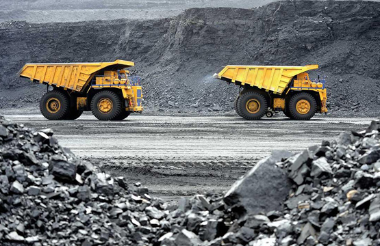
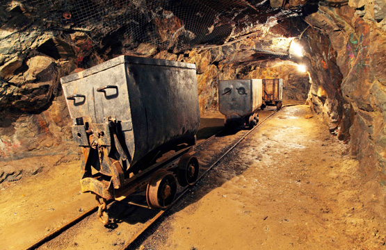
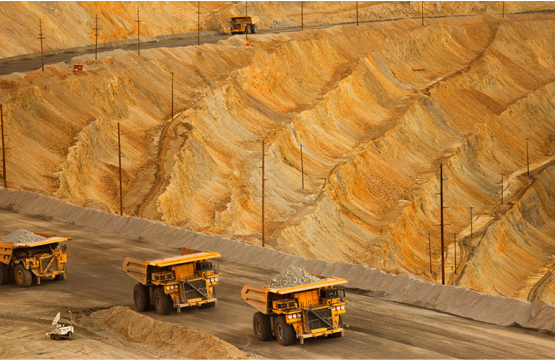
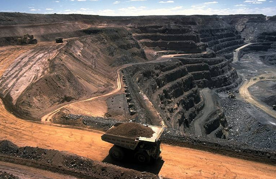
Development and Production
GIS can be used extensively during the development and production phases of a mining operation. Reserve estimates, annual planned production, or cost-per-ton statistics can be linked to complementary geospatial technology, such as GPS. GIS can be applied to both short-term and long-term scheduling to help optimize production at operations. In production planning, GIS can help to site and query the location of service facilities relative to the main production centers. Are the orepass, drawpoints, ramps, shaft, winze, raises, haulways within a certain distance of production centers (stopes) and meeting production criteria? Are production stopes affected by unstable ground conditions, hazardous gas, refractory ore, etc. These publications give examples:
GIS is used by mine planners to establish the optimal location for exploration drifts, crosscuts, sublevels, manways, and ventilation shafts. For service and ancillary systems, mine planners and engineers use GIS to find the lowest-cost path to route delivery of supplies to working areas, find the closest facility, establish which areas are within service range, assign proximity, model inaccessible areas, and model mine ventilation networks.
An Application of GIS in Underground Mining
Mining Gold in Montana with GIS and Underground Modeling (Virtual 3D model of Mayflower Mine)
A GIS based open-pit mine production scheduling system
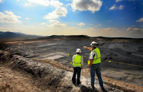
Mining Closure and Reclamation
From the initial inventory of abandoned mine features through the closure of mines and mills, GIS systems are playing an increasing role in abandoned mine land reclamation. GPS data can be overlaid onto GIS maps to provide precise routes to, and locations of, abandoned mine sites. The GIS mapping allows rapid sizing and plotting of mine openings, waste piles and cultural features for accurate drawing and quantity computations during office design of the closures. Tied to coordinate systems, the maps are accurate with respect to orientation and provide precise information for the preparation of construction documents.
The GIS database provides streamlined storage of all pertinent information regarding the mine features including location, access routes, photographs and tabular summaries of dimensions, land ownership and notes regarding each location. Three-dimensional views generated by the GIS system can be used to illustrate the pre- and post-reclamation design features. In the final phase of reclamation, the GIS systems can similarly be used to locate the site, monitor closure and provide as-built dimensions and documentation of closure within the database.
GIS software can be used to locate and store information on acid mine drainage issues. See these publications:
Prioritizing Acid Main Drainage Stream Remediation
Conceptual regrading using three-dimensional GIS to evaluate mine reclamation
Using a Geographic Information System (GIS) as a Tool in Identifying, Documenting, and Investigating Abandoned Underground Mines
A GIS Approach for the Abandoned Mine Inventory with Haul Roads of the Monongahela National Forest to Provide a Comparative Analysis of USFS/USACE GPS Collection Procedures
Development of GIS-Based Analytical Method for Predicting Mining Subsidence Geographic Information System (GIS) as a Tool in Identifying, Documenting, and Investigating Abandoned Underground Mines
Dynamic Segmentation for Monitoring Underground Mining Effects on Pennsylvania Streams