Our Solutions
Water Resource Solutions

Introduction
GIS is a powerful tool for developing solutions for water resources such as assessing water quality and managing water resources on a local or regional scale.
GIS can be used in the following areas:
Hydrologists use GIS technology to integrate various data and applications into one, manageable system. The suite of tools contained in Arc Hydro facilitate the creation, manipulation, and display of hydro features and objects within the GIS environment.
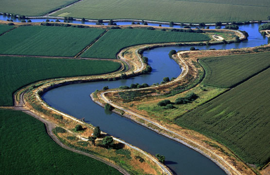
 Watershed Management
Flood Management
Groundwater Management
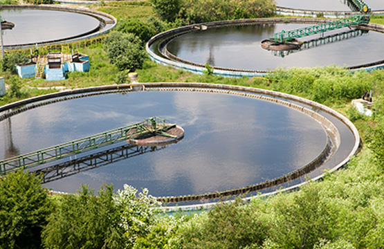
Water Quality Assesment
Population and demand projections
Water quality monitoring
Hazardous materials tracking/underground tank management
Well log and data management
Site analysis
Development review and approval
Right-of-way engineering
Water flow analysis