
Our Solutions
Urban and Regional Planning Solutions
Introduction
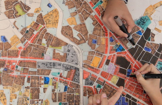
No matter how large or small your community, planners must deal with spatial information: parcel, zoning and land use data, addresses, transportation networks, and housing stock. As a planner, you also study and keep track of multiple urban and regional indicators, forecast future community needs, and plan accordingly to guarantee the quality of life for everyone in livable communities.
Providing municipal services to the growing population is becoming increasingly difficult. Moreover, the economically marginal people residing in urban slums need support not only on services but also on crucial livelihood issues. Proper GIS database provides crucial planning input for infrastructure planning, landuse planning, environmental planning, slum development planning, local economic development, livelihood support and planning related to health and education.
GIS database provides invaluable inputs not only for planning of infrastructure like road, sewerage and drinking water, but also helps manage important services to various stakeholders. All the above planning components are interlinked with each other. Moreover, the whole municipal planning is related with the regional planning and the planning of neighboring municipalities. It is possible to integrate slum development plan with infrastructure development as well as the local economic development plan. In a democratic setup, this GIS framework simultaneously provides transparency to the elected representatives who run the municipalities and to the stakeholders.
 Infrastructure land use and environmental development
Social and livelihood development
Municipal institutional strengthening
City Development Plan
Slum Development Plan
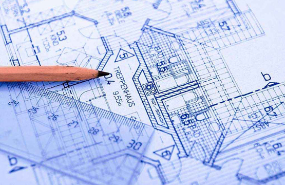
Town Planning
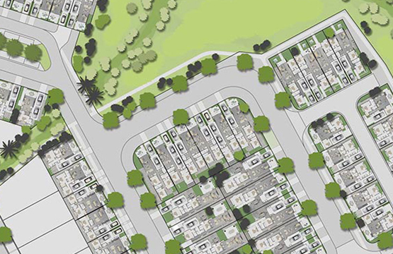
Infrastructure Planning