Our Solutions
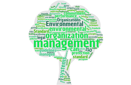
Environment Management Solutions
Introduction
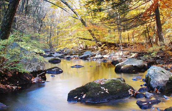
As scientists and environmental managers, you can use GIS to study the environment, report on environmental phenomena, and model how the environment is responding to natural and man-made factors.
GIS can be used in the following areas:
Geospatial analysis is used for the management of
 Manage multiple types of geographic data.
Assess relationships such as runoff and groundwater purity.
Measure change such as wildlife habitat encroachment.
Model events such as drought impact on forest health.
Improve workflow processes, from data gathering and analysis to publication and distribution of findings.