Our Solutions
Climate Change Solutions
Introduction
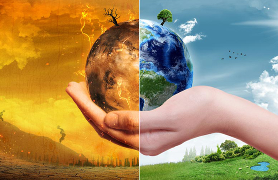
Climate change and its effects are fundamentally geographic challenges that require a geographic approach, where we endeavor to understand the constraints a changing climate imposes upon the terrestrial and aquatic systems we depend.
Geography is a powerful multidimensional framework enabling scientists to explore data layers, discover emergent new patterns, and test alternative scenarios; so we can understand the risks, develop proactive adaptation strategies, and increase society’s long-term resilience to climate change through policy modification. Esri is committed to providing tools to accelerate the global community’s ability to access content, do analyses and share results.
Not only does GIS power analysis, informing citizens and policymakers on how landscapes are responding to change, the GIS platform also provides a framework for multidisciplinary collaboration throughout the phases of development. From design and implementation, to monitoring and evaluation, it integrates information in a way that promotes dialogue between stakeholders resulting in more sustainable outcomes.

A GIS-based framework helps us gain a scientifi c understanding of earth systems at a truly global scale and leads to more thoughtful, informed decision making:
 Deforestation analysis spurs successful reforestation programs and sustainable management.
Study of potential sea level rise leads to adaptive engineering projects.
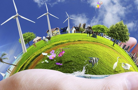
Emissions assessment brings about research into alternative energy sources such as wind turbine siting and residential solar rooftop programs.